
Llogara National Park Travel Guide
Forest, mountain air and wide Ionian coastal views.
Include Llogara for a scenic pause or walk between Vlorë and the Albanian Riviera, choosing between a quick viewpoint stop and a weather-dependent hike.
- Best for
- Scenic road trips
- Visit style
- Viewpoints or hiking
- Location
- Vlorë–Riviera route
Why explore Llogara National Park?
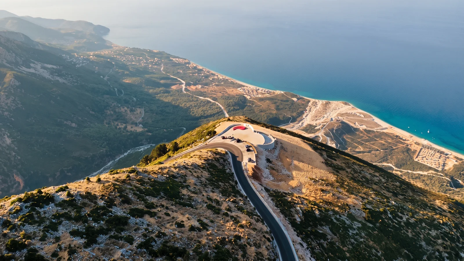
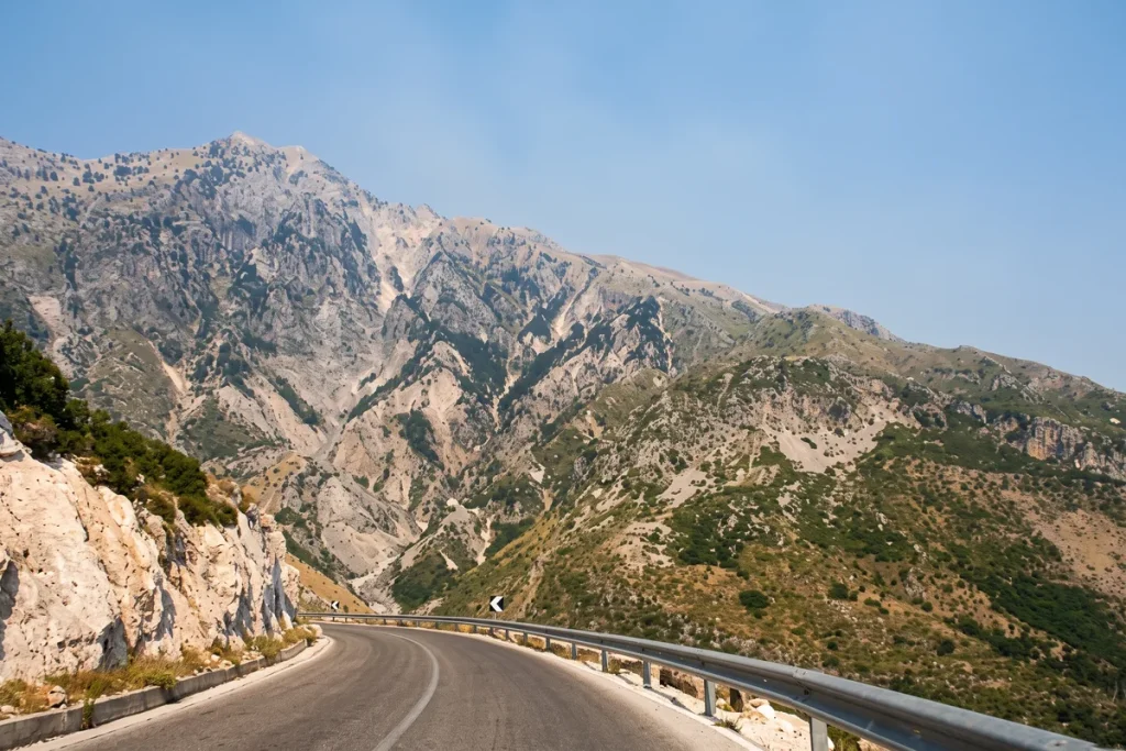
Llogara National Park protects a high mountain landscape where forested slopes meet the exposed Llogara Pass above Albania’s Ionian coast. Its main reward is the contrast between cool woodland, rugged peaks and broad coastal viewpoints.
It best suits road trippers, photographers and walkers who can shape the visit around their energy. A roadside pause asks little, while a serious outing towards Mount Çika demands more time, fitness and attention to changing weather.
See Visit OptionsKnow before you go
Plan the visit according to whether you want one roadside viewpoint, several stops and a short walk, or a dedicated mountain hike. General park access and individual roadside services may operate differently.
- General access
- Confirm locallyGeneral access is often described as free, but charges for particular services or access points are unclear.
- Opening hours
- No confirmed fixed hoursThe park is an open natural area, while restaurants, hotels and activity providers keep their own hours.
- Viewpoint stop
- Allow a brief pauseA single clear-weather viewpoint can fit into a through journey.
- Short visit
- Allow 1–2 hoursThis provides time for several stops and a short walk without attempting a high route.
- Mountain hike
- Allow several hoursHigh routes require a separate plan rather than an improvised stop during a coastal drive.
- Booking
- Not usually for general accessGuided activities and tandem paragliding may need advance arrangements.
Getting to Llogara National Park
The park lies on the mountain section of the coastal route between Vlorë and the Albanian Riviera. The pass road provides the scenic experience, while the tunnel allows through traffic to bypass the high crossing.
Landmarks of Llogara
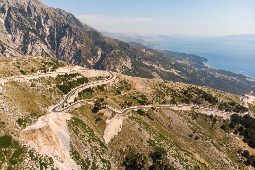
The park’s main features range from roadside landmarks around the pass to high mountain objectives requiring a dedicated hike.
Most visits begin around Llogara Pass, where the road enters a cooler landscape of mountain forest and exposed viewpoints. The experience can remain road-based, with the scenery unfolding through separate short stops rather than one continuous walking route.
Longer visits shift towards trails and the high ground around Mount Çika and Caesar’s Pass. These add scale and historical interest, while the pass and Flag Pine provide more manageable focal points for a shorter visit.
Plan your time on site
What to see
- Llogara PassThe high crossing through the park is its defining feature, linking the Vlorë side with the Albanian Riviera. It provides the clearest sense of the abrupt transition from mountains to the Ionian coast.
- Mount ÇikaThe prominent peak above the park anchors Llogara’s mountain landscape. Routes towards it offer a more demanding experience than the roadside viewpoints and should be treated as a substantial mountain hike.
- Caesar’s PassThis mountain pass is traditionally associated with Julius Caesar’s movement through the region during the Roman civil war. It adds a historical dimension to a landscape now visited mainly for walking and views.
- Flag PineThe wind-shaped pine known as the Flag Pine is one of Llogara’s distinctive natural landmarks. Its form reflects the exposed conditions around the pass.
Plan ahead
- Llogara does not guarantee a clear coastal panorama: fog and rapidly changing mountain weather can hide the Ionian views. It is also a dispersed protected landscape rather than a single attraction with one entrance, visitor centre and complete set of services. The pass can still provide an atmospheric forest and mountain experience when the coast is obscured, but hikers should be prepared to change plans if conditions deteriorate.
- Walking shoes For trails and short walks — Paths may be slippery in fog or unsettled spring and autumn weather.
- Water Carry your own supply — Do not rely on every roadside facility being open or stocked.
- Extra layer For changing conditions — The exposed pass can feel markedly different from the coast below.
- Food and toilets Available in some areas — Roadside restaurants, hotels and basic restrooms may be available, but provision is scattered.
Is Llogara National Park right for you?
Best suited to
- Scenic road trippers — The park fits naturally into a Vlorë–Riviera drive and rewards even a short stop.
- Casual walkers — Short trails and roadside viewpoints allow a nature visit without committing to a major hike.
- Experienced hikers — Routes towards Mount Çika provide a substantially more demanding mountain objective.
- Landscape photographers — Forested slopes, high ground and Ionian coastal views create varied subjects within one area.
May not suit
- Unprepared winter drivers — Snow, ice, fog and sharp curves can make the pass a poor choice without current road information.
- Visitors needing adapted trails — Some roadside viewpoints may require little or no walking, but the park’s trails are not adapted for limited mobility.
- No-car travellers on a tight plan — Uncertain stopping arrangements and the distance between points of interest make an independent visit difficult to schedule.
Families can enjoy the mountain crossing and a short viewpoint stop, but trail choice should reflect children’s ability and current conditions.
Before you go
Practical details to check before visiting Llogara National Park.
- Best time
- Late spring–early autumnSummer is generally more suitable for hiking, though weekends can be busier.
- Weather
- Can change rapidlyFog may obscure views, while snow and ice can affect winter visits.
- Facilities
- Basic and scatteredRoadside restaurants, hotels, picnic areas and restrooms may be available, but provision varies.
- Car need
- RecommendedA car gives greater flexibility for reaching viewpoints and trail access points.
- Summer crowds
- Weekends can be busierPopular roadside stops may feel more congested during the main summer period.
Planning your Llogara visit
Practical answers to help you plan your visit.
What is the difference between Llogara Pass and the national park?
Llogara Pass is the high road crossing and the focus of many short visits. The national park is the wider protected mountain landscape, including forests, viewpoints and hiking terrain around the pass.
Does the tunnel replace the scenic pass road?
The tunnel provides a lower through route and can bypass the high crossing. Travellers who want the classic pass scenery need to choose the mountain road deliberately.
Is paragliding part of a normal park visit?
Paragliding activity is associated with Llogara, but it is an optional operator-led experience rather than part of general park access. Availability depends on arrangements and suitable conditions.
Is there one main entrance or visitor centre?
Plan for a dispersed roadside landscape rather than a single controlled entrance. Viewpoints, facilities and trail access points are spread around the pass area.
What can I do if cloud hides the coast?
Focus on the forest, Flag Pine and the atmosphere of the pass rather than waiting indefinitely for a panorama. Avoid beginning a high hike simply in the hope that visibility will improve.